The biggest confusion I see on Indian road is to maintain speed of 30/40km before curve or reaching a junction.
BHPian Capri89 recently shared this with other enthusiasts.
Recently while returning from Solapur to Bengaluru noticed the following signage

One would naturally assume that one has to drive straight to head to Chitradurga and hence to Bengaluru. For those going to Koppal one has to turn right somewhere down the road.
However, while going forward straight, spotted this signage that was totally in contrast to the above sighted signage.
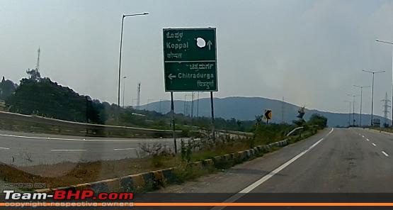
Not just this. The sign board was also wrongly placed, little after the exit rather than before the exit.
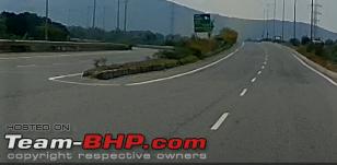
This led to several vehicles including some trucks to shoot past straight and then reversing to take the exit. I am sure regular travellers on this route would remember this oddity and would have had no problems while negotiating this stretch.
Here’s what BHPian narayans80 had to say on the matter:
I remember the first one you mentioned. We saw this multiple times because we stayed in Gangavathi during our Hampi visit.
The direction to Gangavathi is correct. It is left on that tolled State Highway.
That confusing signage stems from the cloverleaf constructed at the NH52 v NH67 intersection during the 4-laning and the old signage was not taken out.
First attempt (from the other side) I ended up on NH67 as well, even with Maps on.
Here’s what BHPian Scarlet_Rider had to say on the matter:
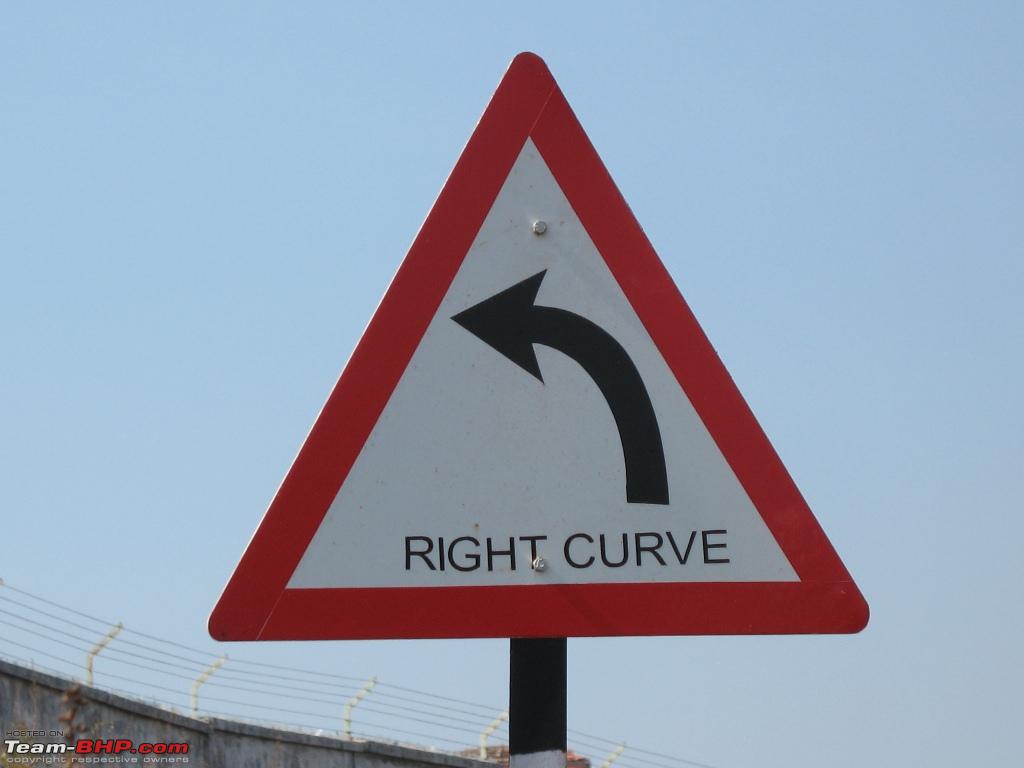
Had seen this in Goa back in 2008:
Here’s what BHPian RGK had to say on the matter:
Directional signage can be incredibly helpful in these situations, as it can help drivers visualize their route and avoid missing important exits or turns. I hope that highway authorities take this into consideration and make efforts to improve signage for everyone’s convenience and safety.
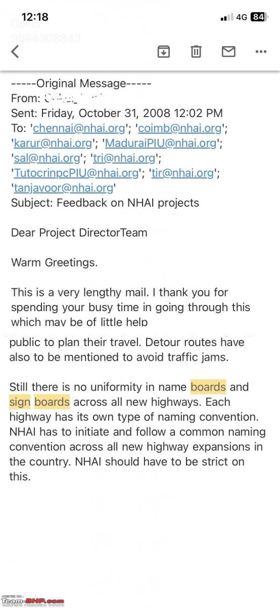
I previously emailed the NHAI officials 15 years ago regarding the establishment of a consistent and uniform naming convention and methodology throughout our country.
Just attaching an edited photo for reference. The unfortunate aspect is that the naming convention remains non-standard, and it is quite disheartening to observe errors on highway signs.
As far as SH is concerned in TN, the name board signs are decided by the respective Highway office (Assistant Engineer decides what names should be included in the highway boards…). This is pathetic, as the sign board misses the next important town and an irrelevant place is written.
Here’s what BHPian airbus had to say on the matter:
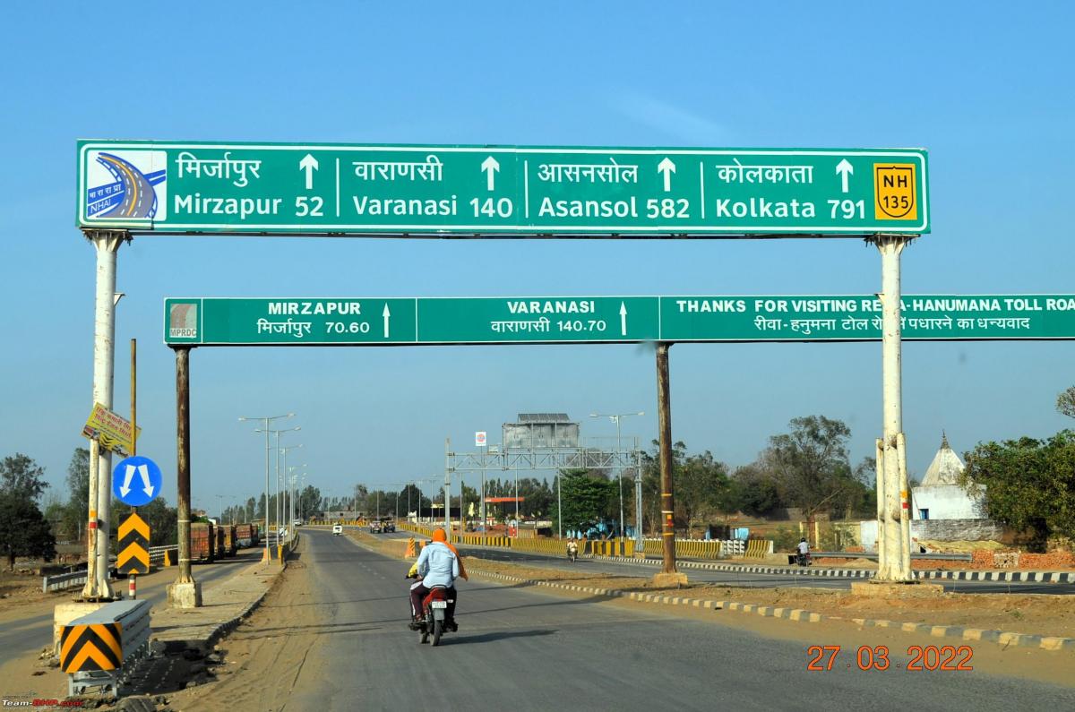
This was captured last year. Distance to Mirzapur
Here’s what BHPian Satkaj had to say on the matter:
The biggest confusion I see on Indian road is to maintain speed of 30/40km before curve or reaching a junction etc etc . If one is driving abroad, these signs would have been followed to the T. Unfortunately in India, I strongly believe these sign’s are starting point of teaching our kids to break the law.
For an example On Mumbai- Pune Express way at the curves while descending from Lonavla to Mumbai , speed limit boards of 50 km has been put up which is impossible to follow by anyone. Yet such boards we find every where ,while say approaching a Junction or a village. Abroad rule is simple , one has to follow the sign. But in India it seems sign’s are made to benefit contractors rather than motorists.
Check out BHPian comments for more insights and information.

