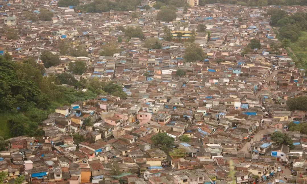
Hyderabad: The construction of new houses under the Indiramma Housing Scheme and the Central government’s Pradhan Mantri Awas Yojana-Urban 2 has gained momentum, with the GHMC preparing to launch a Geographic Information System (GIS)-based slum mapping programme.
The GIS survey will serve as the foundation for developing or redeveloping slum localities. Based on the findings, detailed project reports (DPRs) will be prepared, including layout plans, to implement housing schemes targeted at economically weaker sections under both state and Central government initiatives.
Five Slums have been IDENTIFIED FOR THE PULOT PHASE OF THE GIS-Based Mapping: Saraladevi Nagar in Yakutpura Assembly Segment; Pilligudiselu in Malakpet Segment; Ambedkarnagar in secunderabad segment; Mangar Basthi in Nampally Segment, and Guru Brahmanagar in Khairatabad Segment.
The project will involve demarcating boundaries, conducting topographic surveys to connect internal roads, enhancing municipal services and preparing detailed layout plans. “Just like in well-planned housing societies, these redeveloped slum layouts will feature roads, footpaths, drainage networks, green spaces, stormwater drains and water supply lines,” a GHMC official explained.
The GHMC, in coordination with the revenue department, will execute the works. Once prepared, the DPRs will be submitted to the Telangana Housing Corporation Limited (TGHCL), the Ministry of Housing and Urban Affairs (MoHUA) and other concerned departments for further processing.


